|
FROM:
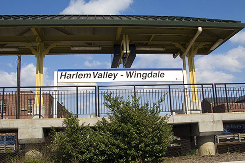
Harlem Valley
- Wingdale Train Station TO: Camp Ramah in the Berkshires (Wingdale, NY) |
||||||||||||
|
From the
train station make a left at the traffic light onto Route 22/55
(north). After about a
half-mile (0.5 mile) leave Route 22
and take Route 55
eastbound by veering right at the fork in the road and begin carefully looking for signs to Camp Ramah.
You will now be about 3.5 miles from Camp Ramah.
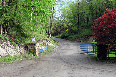
Please read carefully; - In about a quarter-mile (0.25 mile), bear right at the fork to stay on Dutchess County Route 6 / Old Route 22. - After about a quarter-mile (0.25 mile) or so, there is a concrete bridge that passes over a small river (large stream?) on your right. Turn right onto the concrete bridge which will put you onto "Reagans Mill Road". - In a little more than a half-mile (0.5 mile) bear left at the small triangle (three roads coming together). This will put you onto "Berkshire Road". - In about a half-mile (0.5 mile), turn right onto Weil Road (before the entrance to Camp Berkshire which is straight ahead). The sign for Weil Road may say "Weils Road" instead of Weil Road (I think the sign maker got it wrong). - In about two-tenth's of a mile (0.20 mile), bear left at the fork (away from Weil Road). You will now be on a road marked either St. George Road or Ramah Road (either one is fine). - In another one-tenth of a mile (0.10 mile), turn right onto Ramah Road (St. George Road will go straight at this point and may have a sign stating "Dead End"). Please be careful on this section of Ramah Road as it is narrow, unpaved, twisty, has multiple blind turns and is a two way street (there could be oncoming traffic). The camp is at the end of this road (about a quarter (0.25) mile), you can't miss it! The entire trip from the train station to the camp is just under four (4) miles. If using a GPS then the following address should guide you properly; 72 Ramah Road, Wingdale, NY 12594 - After getting to 72 Ramah Road just drive a little further and you'll see the front entrance to camp. |
||||||||||||
|
FROM: Camp
Ramah in the Berkshires (Wingdale, NY) TO: Harlem Valley - Wingdale Train Station |
||||||||||||
|
- From the main gate of Camp Ramah drive straight (on Ramah
Road) until you reach an intersection with St. George Road. - Make a left onto St. George Road. (Going right will lead to a dead end). - In about one-tenth of a mile (0.10 mile) veer right at the fork onto Weil Road. - In about two-tenths of a mile (0.20 mile), at the end of Weil Road, make a left onto Berkshire Road. - In about a half-mile (0.50 mile) veer right at the small triangle which will now put you onto Reagans Mill Road. - When Reagans Mill Road ends and you drive over a small concrete bridge make a left onto Dutchess County Route 6 / Old Route 22. - Veer right but make no turns and take Route 55 (south/west) when the road you are on merges into it. If you mistakenly make a left onto Route 55 eastbound, heading the wrong way, then you will soon see Dogtail Corners Road and Webatuck Crafts Village on your left. - When you reach Route 22, make a left to get onto Route 22 heading south. - In about a half-mile (0.50 mile), at a traffic light (the intersection of Route 22 and Wheeler Road), you will see the train station on your right on the far side of the intersection (it is visible from Route 22). - Make a right turn at the traffic light (Wheeler Road) to enter the parking lot of the train station. The entire trip from the train station to the camp is just under four (4) miles. If you are heading towards NYC then continue south on Route 22 (then Route 684 south, then the Saw Mill River parkway southbound and finally the Henry Hudson Parkway / West Side Highway southbound). |
||||||||||||
|
Click here for a map and/or personalized driving directions
|
||||||||||||

